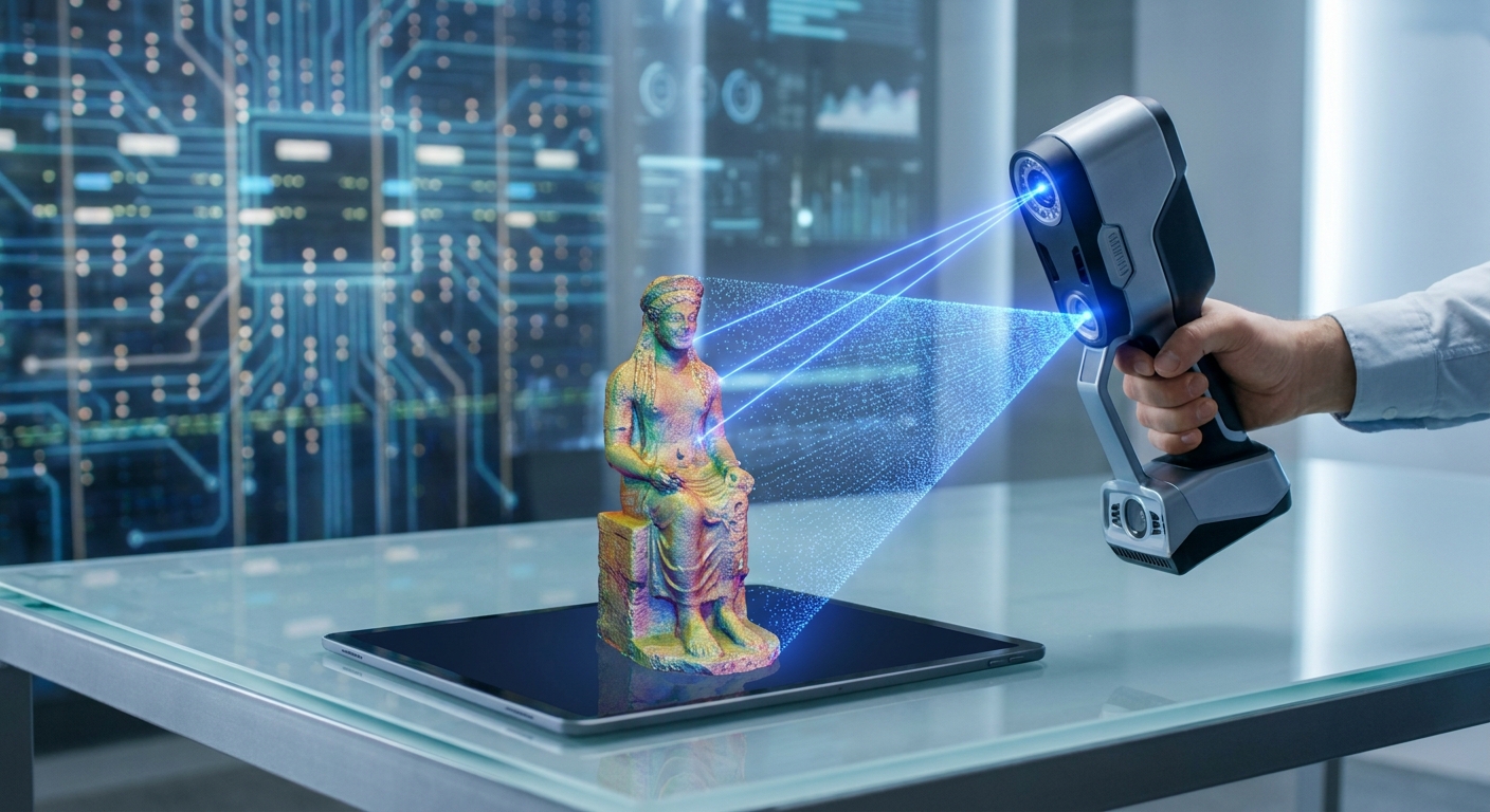
LiDAR vs. Photogrammetry: Which 3D Scanning Technology is Right for Your Application in 2026?
Choosing between LiDAR and photogrammetry for your 3D scanning needs in 2026 depends on a critical evaluation of accuracy requirements, environmental conditions, object complexity, and budget. LiDAR excels in capturing precise, real-world measurements in challenging environments, ideal for industrial and large-scale applications, while photogrammetry offers a cost-effective, versatile solution for detailed object scanning with sufficient lighting. This article will dissect the core differences, strengths, weaknesses, and optimal use cases for each technology, empowering you to make an informed decision, potentially leveraging solutions like MagiScan for superior results. With advancements in 2026, both technologies are more powerful than ever, offering new possibilities for logistics, e-commerce, medical fields, and industrial engineering.
Key Takeaways
- LiDAR excels in accuracy and speed for large-scale, outdoor, or low-light environments, crucial for infrastructure and industrial surveying.
- Photogrammetry offers a more budget-friendly and accessible option, particularly for detailed scanning of smaller objects in well-lit conditions, perfect for e-commerce product visualization.
- MagiScan's integrated approach can bridge the gap, offering hybrid solutions that leverage the strengths of both technologies for unparalleled versatility.
- LiDAR's direct measurement capabilities make it superior for applications requiring millimeter-level precision, such as quality control in manufacturing.
- Photogrammetry's reliance on visual data makes it ideal for capturing texture and color, vital for realistic digital twins and virtual reality.
- The choice hinges on balancing precision needs, environmental constraints, object characteristics, and overall project budget.
How Does LiDAR Capture 3D Data?
LiDAR (Light Detection and Ranging) captures 3D data by emitting laser pulses and measuring the time it takes for these pulses to return after reflecting off surfaces. This time-of-flight measurement, combined with the known speed of light, allows for precise distance calculations. These data points, known as point clouds, form a highly accurate spatial representation of an object or environment.
LiDAR systems, whether terrestrial or aerial, generate dense point clouds with inherent spatial accuracy. This direct measurement approach makes it exceptionally reliable for engineering, construction, and surveying where precise dimensions are paramount. The technology is less susceptible to ambient lighting conditions, making it a robust choice for outdoor or poorly lit indoor environments.
What is Photogrammetry and How Does it Work?
Photogrammetry is the science and art of extracting 3D information from two-dimensional photographs. It works by taking multiple overlapping images of an object or scene from various angles. Specialized software then analyzes these images, identifying common points and using principles of triangulation to calculate their 3D coordinates.
The output is a 3D model, often textured with the original image data, providing a visually rich representation. Photogrammetry is highly effective for capturing fine details, textures, and colors, making it invaluable for digital archiving, cultural heritage preservation, and creating realistic assets for gaming and virtual reality. Solutions like MagiScan can significantly streamline the photogrammetry workflow, from capture to final model.
What are the Core Differences in Data Acquisition Between LiDAR and Photogrammetry?
The fundamental difference lies in their data acquisition methods: LiDAR uses active laser scanning to directly measure distances, while photogrammetry uses passive image analysis to infer geometry. This leads to distinct characteristics in the resulting 3D data.
LiDAR directly measures the distance to points, providing a true-scale, geometrically accurate point cloud. Photogrammetry triangulates points from overlapping images, which can introduce slight distortions if not captured under ideal conditions. This difference in acquisition strategy dictates their suitability for various applications.
| Feature | LiDAR | Photogrammetry |
|---|---|---|
| Data Source | Laser pulses (active) | Digital photographs (passive) |
| Measurement Type | Time-of-flight, phase shift | Triangulation, parallax |
| Primary Output | Highly accurate, geometrically precise point cloud | Textured 3D mesh, often derived from point cloud processing |
| Accuracy | High, often in millimeters, especially for distance and dimensions | Variable, dependent on image quality, overlap, and processing; can achieve high accuracy with optimal conditions |
| Environmental Needs | Less dependent on lighting; operates in low-light/dark conditions | Requires good, consistent lighting; struggles with reflective or transparent surfaces |
| Speed of Capture | Generally faster for large areas and dense data acquisition | Can be slower, requiring significant image capture and processing time |
| Cost | Typically higher initial hardware and processing costs | Lower hardware cost (uses standard cameras); processing can be resource-intensive |
| Texture/Color | Often requires separate colorization or integration with cameras | Inherently captures high-resolution color and texture data |
| Object Suitability | Large-scale environments, infrastructure, complex industrial sites | Objects with distinct features, textures, and sufficient lighting; smaller items |
When Should I Choose LiDAR for My 3D Scanning Project?
You should choose LiDAR when your project demands the highest level of geometric accuracy, especially for large-scale environments or when working in challenging lighting conditions. This technology is paramount for applications where precise measurements are critical for structural integrity, safety, or compliance.
LiDAR is the superior choice for surveying existing infrastructure like bridges and buildings, performing volumetric calculations in mines, or conducting detailed site mapping for construction. Its ability to penetrate foliage to some extent also makes it ideal for forest inventories and environmental monitoring. MagiScan's advanced LiDAR capabilities can provide unparalleled accuracy for these demanding tasks.
What Are the Specific Use Cases Where LiDAR Shines?
LiDAR is indispensable in several key sectors due to its precision and reliability. For industrial engineers, it's crucial for as-built surveys of factories and machinery, ensuring components fit perfectly and identifying deviations from design specifications with millimeter accuracy. Logistics managers can use LiDAR for precise warehouse mapping, optimizing space utilization and robotic navigation paths.
In construction, LiDAR provides accurate site surveys, progress monitoring, and quality control, preventing costly errors. Medical professionals might employ specialized LiDAR for precise anatomical scanning for prosthetics or surgical planning, demanding sub-millimeter accuracy. Tech-savvy users involved in large-scale digital twins or city modeling will benefit from LiDAR's efficient capture of vast, complex environments.
How Does LiDAR Handle Environmental Factors and Lighting?
LiDAR's active scanning mechanism makes it remarkably resilient to environmental variables that hinder photogrammetry. It can operate effectively in direct sunlight, overcast skies, and even complete darkness. This is because it generates its own light source (laser) and measures the return signal.
This independence from ambient light is a significant advantage for outdoor projects, nighttime operations, or scanning interiors with inconsistent or low lighting. While fog or heavy rain can affect laser propagation, LiDAR generally performs more reliably than photogrammetry in a wider range of atmospheric conditions.
When is Photogrammetry the Better 3D Scanning Solution?
Photogrammetry becomes the superior choice when your primary goal is to capture detailed, high-fidelity texture and color information at a more accessible price point. It is ideal for projects where the object or scene is well-lit, has sufficient visual features, and does not require the absolute highest geometric precision achievable with LiDAR.
This technology is perfect for e-commerce sellers needing to create realistic 3D product models for online catalogs, allowing customers to virtually inspect items. It's also excellent for cultural heritage digitization, creating detailed 3D models of artifacts and historical sites with their original colors and textures intact. MagiScan can simplify the photogrammetry process, making these detailed scans achievable for a broader range of users.
What Applications Benefit Most from Photogrammetry's Strengths?
E-commerce sellers are prime beneficiaries, using photogrammetry to generate interactive 3D views of products that significantly increase engagement and reduce return rates by providing customers with a comprehensive understanding of the item. Medical professionals can utilize photogrammetry for creating detailed models of external anatomy for cosmetic surgery planning or patient education, where visual fidelity is key.
Industrial engineers might use photogrammetry for reverse engineering moderately complex parts where texture and form are critical, or for documenting product aesthetics. Logistics managers could employ it for visually documenting asset conditions or creating digital inventories of smaller items. Tech-savvy users often leverage photogrammetry for creating assets for augmented reality (AR) and virtual reality (VR) experiences.
How Does Photogrammetry Handle Object Complexity and Texture?
Photogrammetry excels at capturing intricate details and rich textures because it relies on visual information. The more distinct visual features an object has, the easier it is for photogrammetry software to identify corresponding points across multiple images, leading to a more accurate and detailed reconstruction.
This makes it ideal for objects with complex geometries, intricate patterns, or varied surface finishes. The resulting 3D models are inherently textured with the original photographs, providing a photorealistic appearance. MagiScan's advanced algorithms optimize image alignment and feature matching, enhancing the photogrammetric reconstruction of even the most complex objects.
What Are the Limitations of Each Technology?
While powerful, both LiDAR and photogrammetry have inherent limitations that users must consider. Understanding these constraints is crucial for selecting the appropriate technology and managing project expectations.
LiDAR's main limitations include its higher cost, potential difficulties with highly reflective or transparent surfaces, and the fact that it primarily captures geometric data, often requiring separate colorization. Photogrammetry's limitations are its dependency on good lighting, challenges with featureless or repetitive surfaces, and the potential for geometric inaccuracies if image capture is suboptimal or the subject moves.
What Challenges Does LiDAR Face in Certain Environments or with Specific Materials?
LiDAR systems can struggle with highly reflective surfaces like polished metal or glass, as the laser pulses may scatter unpredictably, leading to data gaps or inaccuracies. Similarly, transparent materials like water or clear plastics can be problematic.
Dense fog, heavy rain, or snow can attenuate laser signals, reducing range and accuracy in outdoor environments. While LiDAR is less affected by ambient light than photogrammetry, extreme conditions can still impact performance. Capturing data on very dark, matte surfaces can also sometimes lead to weaker return signals.
What Are Photogrammetry's Weaknesses Regarding Lighting and Surface Properties?
Photogrammetry's greatest weakness is its reliance on consistent, adequate lighting. Shadows, glare, and changes in illumination across a set of images can lead to significant distortions and inaccuracies in the reconstructed 3D model.
Objects with uniform, featureless surfaces (like a plain white wall or a perfectly smooth sphere) are difficult for photogrammetry to reconstruct accurately, as there are few distinct points for the software to track and triangulate. Similarly, transparent, reflective, or very dark, matte surfaces pose challenges. Motion blur from camera shake or subject movement also degrades data quality.
How Can MagiScan Enhance Your 3D Scanning Workflow?
MagiScan is engineered to address many of the challenges associated with both LiDAR and photogrammetry, offering a versatile and powerful solution for a wide range of applications. By integrating advanced algorithms and user-friendly interfaces, MagiScan streamlines the entire 3D scanning process, from data capture to model generation.
Whether you are employing LiDAR for its precision or photogrammetry for its detail, MagiScan can optimize your workflow. For LiDAR users, it enhances point cloud processing and analysis. For photogrammetry users, it refines image alignment, mesh generation, and texturing, ensuring higher quality results with greater efficiency.
How does MagiScan leverage the strengths of both LiDAR and Photogrammetry?
MagiScan is designed to be a hybrid solution, capable of processing and integrating data from both LiDAR scanners and standard cameras. This means you can combine the geometric precision of LiDAR with the detailed texture information from photogrammetry to create comprehensive, high-fidelity 3D models.
For instance, you could use LiDAR to establish the accurate spatial framework of a large industrial facility and then use photogrammetry to capture detailed textures of specific equipment within that space. MagiScan's intelligent fusion capabilities ensure these disparate datasets are seamlessly combined for a unified, accurate digital representation.
What specific features of MagiScan benefit users in logistics, e-commerce, medical, and industrial sectors?
For logistics managers, MagiScan can process LiDAR data for precise warehouse dimensions and inventory placement, while also enabling quick photogrammetric scans of items for digital asset management. E-commerce sellers can use MagiScan to effortlessly generate high-quality, textured 3D models from photogrammetry, enhancing product listings.
Medical professionals benefit from MagiScan's ability to process high-accuracy scans for anatomical modeling, whether from LiDAR or detailed photogrammetry, aiding in diagnostics and treatment planning. Industrial engineers can leverage MagiScan for detailed as-built surveys using LiDAR, combined with photogrammetry for capturing surface finishes and textures for quality control and reverse engineering.
Frequently Asked Questions
What is the typical accuracy difference between LiDAR and photogrammetry in 2026?
In 2026, high-end LiDAR systems can achieve sub-millimeter accuracy for distance measurements, ideal for critical engineering tasks. Photogrammetry, when executed under optimal conditions with sufficient overlap and high-resolution imagery, can also achieve accuracies in the millimeter range, particularly for smaller objects, but is generally more variable.
Can I use a standard smartphone camera for photogrammetry with MagiScan?
Yes, MagiScan is designed to work with standard smartphone cameras, allowing users to capture high-quality photogrammetry data for various applications. While professional-grade cameras offer more control, modern smartphone cameras are increasingly capable for detailed 3D reconstruction with MagiScan's processing power.
Is LiDAR scanning more expensive than photogrammetry?
Generally, LiDAR hardware is more expensive than the cameras used for photogrammetry. However, the total project cost can vary significantly based on the complexity, scale, required accuracy, and processing needs. MagiScan's software can help optimize processing for both technologies, potentially reducing overall project expenses.
Which technology is better for capturing the color and texture of an object?
Photogrammetry inherently captures detailed color and texture information directly from photographs, making it superior for applications where photorealism is a priority. LiDAR primarily captures geometric data; color information is usually added separately by overlaying images from a co-registered camera.
How does MagiScan help overcome the limitations of reflective or transparent surfaces?
MagiScan's advanced algorithms can employ specialized processing techniques to mitigate issues with reflective and transparent surfaces in photogrammetry, such as by using polarization filters or advanced surface reconstruction methods. For LiDAR, while the inherent physics remain a challenge, MagiScan can help process and interpret the data to identify potential issues and suggest workarounds.
Conclusion
The choice between LiDAR and photogrammetry in 2026 is not a matter of one being universally superior, but rather which technology best aligns with your specific project requirements. LiDAR offers unparalleled accuracy and environmental robustness for large-scale and critical measurement tasks, making it indispensable for industrial engineers and surveyors. Photogrammetry provides a cost-effective, detail-rich solution for capturing texture and color, ideal for e-commerce and digital archiving.
For those seeking the ultimate flexibility and power to tackle diverse 3D scanning challenges, solutions like MagiScan offer a unified platform that leverages the strengths of both LiDAR and photogrammetry. By understanding the unique capabilities and limitations of each, and by utilizing advanced tools, you can ensure your 3D scanning projects are not only successful but also drive innovation across your industry.
Ready to explore the future of 3D scanning? Try MagiScan today and experience the power of integrated LiDAR and photogrammetry solutions for your business.